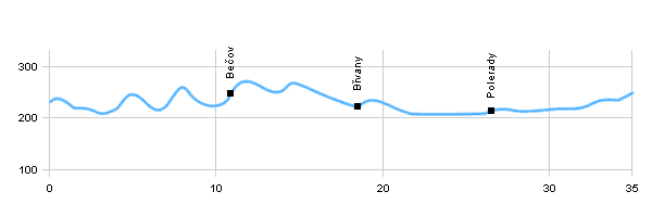
| Dist. |
Location |
Elevation |
Marking |
Description |
| 0,0 |
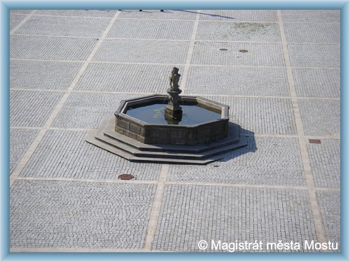
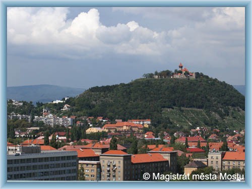
Most |
230 m n.m. |
 |
cycle way 25 |
| 3,0 |
Obrnice |
210 m n.m. |
|
cycle way 25 |
| 4,0 |
Patokryje |
215 m n.m. |
|
cycle way, road |
| 6,0 |
Sedlec |
215 m n.m. |
|
cycle way, road |
| 7,0 |
Korozluky |
250 m n.m. |
|
 cycle way, road cycle way, road |
| 9,0 |
Zaječice |
240 m n.m. |
|
 cycle way, road cycle way, road |
| 10,5 |
Bečov |
250 m n.m. |
|
 cycle way, road cycle way, road |
| 14,5 |
Písečný vrch |
260 m n.m. |
|
 cycle way, road cycle way, road |
| 18,5 |
Břvany |
220 m n.m. |
|
cycle way, road |
| 22,0 |
Počerady |
205 m n.m. |
|
cycle way, road |
| 24,0 |
Volevčice |
205 m n.m. |
|
 cycle way, road cycle way, road |
| 26,0 |
Polerady |
210 m n.m. |
|
cycle way, road |
| 29,5 |
Nemilkov |
215 m n.m. |
|
cycle way, road |
| 35,0 |
Most |
250 m n.m. |
|
|
| | Above the village is the national natural monument - Jánský hill | | | there are mineral springs here | | | in the vicinity is natural monument Chloumek, nature reserve and Mila Písečný hill | | | nature reserve | | | at the foot hills of Great and Small Volavky - salted clays |
|


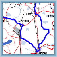 Click to show full-size map