|
|
|
|
|
||||||||||
|
|
|
||||||||||||


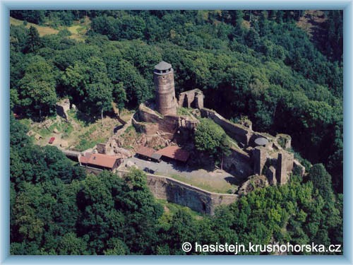
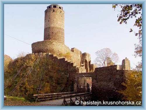
Cycling routes - From Chomutov to Hasištejn
|
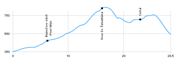
Length: 28,5 km Dificulty: medium Bikes: Medium-difficult route, which leads on the road and forest paths. |
|
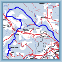 Click to show full-size map
| ||||||||||||||||||||||||||||||||||||||||||||||||
| ||||||||||||||||||||||||||||||||||||||||||||||||||

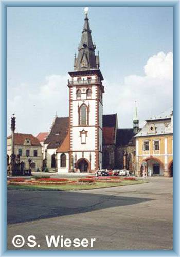
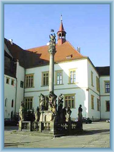
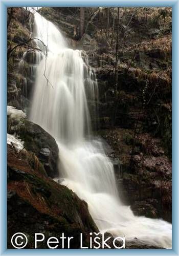
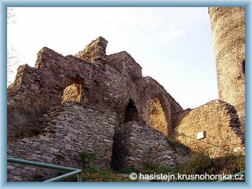
Photos of the route
|

|
|
|
|
|
||||||||||
|
|
|
||||||||||||
|
Length: 28,5 km Dificulty: medium Bikes: Medium-difficult route, which leads on the road and forest paths. |
|
Click to show full-size map
| ||||||||||||||||||||||||||||||||||||||||||||||||
| ||||||||||||||||||||||||||||||||||||||||||||||||||
|