| Dist. |
Location |
Elevation |
Marking |
Description |
| 0,0 |
Kraslice |
530 m n.m. |
 |
 cycle way, road cycle way, road |
| 4,0 |
Klingenthal |
550 m n.m. |
|
 cycle way, road cycle way, road |
| 12,0 |
Aschberg |
900 m n.m. |
|
cycle way, forest path |
| 17,5 |
Schuppenberg |
690 m n.m. |
|
cycle way, forest path |
| 23,0 |
Carisfeld |
850 m n.m. |
|
cycle way, forest path |
| 26,0 |
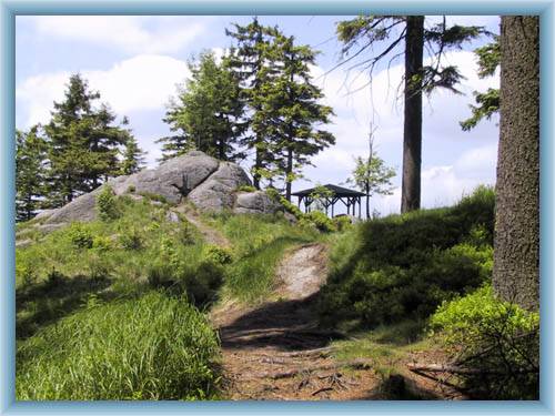
Größer Kranichsee |
920 m n.m. |
|
cycle way, forest path and road |
| 34,5 |
Jelení |
860 m n.m. |
|
Ore mountains artery, cycle way 36 |
| 36,0 |
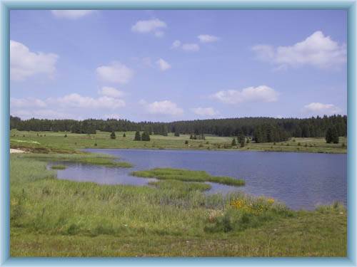
Velký močal |
910 m n.m. |
|
Ore mountains artery, cycle way 36 |
| 40,0 |
Moorland Přebuzské vřesoviště |
890 m n.m. |
 |
 cycle way 2044, turn to cycle way after 400m cycle way 2044, turn to cycle way after 400m |
| 47,5 |
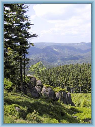
Špičák |
910 m n.m. |
|
cycle way, forest path and road |
| 49,5 |
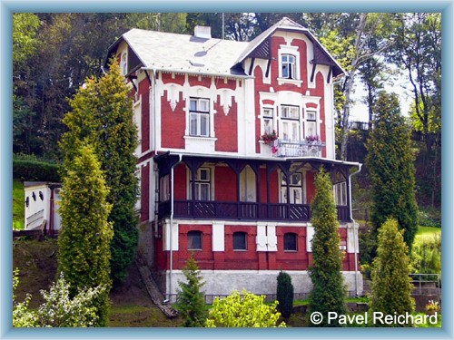
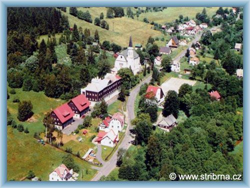
Stříbrná |
600 m n.m. |
|
cycle way and the road |
| 54,0 |
Kraslice |
530 m n.m. |
|
|
| | traditional production of musical instruments, lace and linen | | | The road leads by the german boarder | | | green marked way leeds at the peak |
|


 Click to show full-size map