|
|
|
|
|
||||||||||
|
|
|
||||||||||||


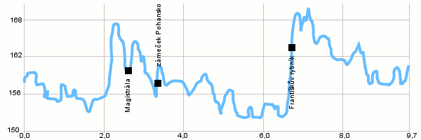
Cycling routes - Circuit in the Břeclav area
|
Length: 9,7 km Dificulty: medium Bikes: The track leads mainly through and easy straight terrain and is suitable for recreational bikers and children. It is possible to see the Pohansko settlement of an archeological museum along the way. Drag the map with your mouse You can also use the directional arrows in the top-left corner. Use the keys (+), (-) or the slider to zoom in and zoom out. |
|
||||||||||||||||||||||||||||||||||||||||
| |||||||||||||||||||||||||||||||||||||||||


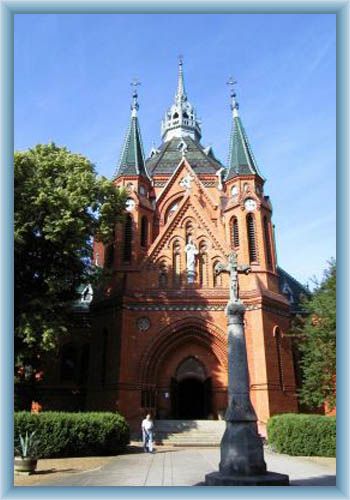
Photos of the route
|
