|
|
|
|
|
||||||||||
|
|
|
||||||||||||


Cycling routes - Fryšava-Herálec-Fryšava
|
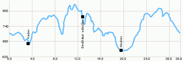
Length: 29,8 km Dificulty: difficult Bikes: An easy trip in the surroundings of the protected area Žďárské Vrchy. It will lead you to Devět Skal (Nine Rocks) which are the highest point of Žďárské vrchy. Drag the map with your mouse You can also use the directional arrows in the top-left corner. Use the keys (+), (-) or the slider to zoom in and zoom out. |
|
||||||||||||||||||||||||||||||||||||||||
| |||||||||||||||||||||||||||||||||||||||||


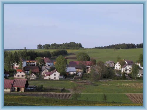
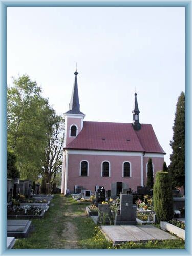
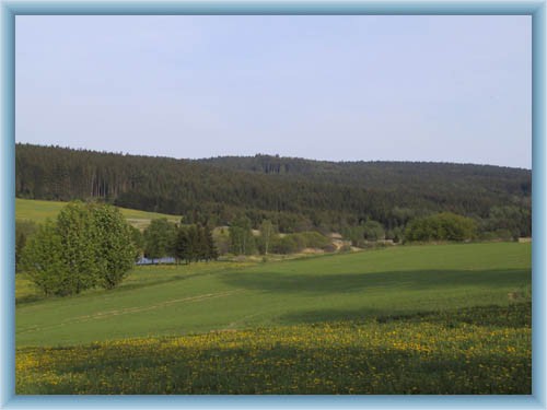
Photos of the route
|
