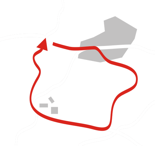
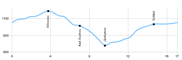
| Dist. |
Location |
Elevation |
Marking |
Description |
| 0,0 |
Boží Dar |
1038 m n.m. |
 |
 Crossroad of green and yellow route Crossroad of green and yellow route |
| 0,6 |
Neklid |
1076 m n.m. |
|
|
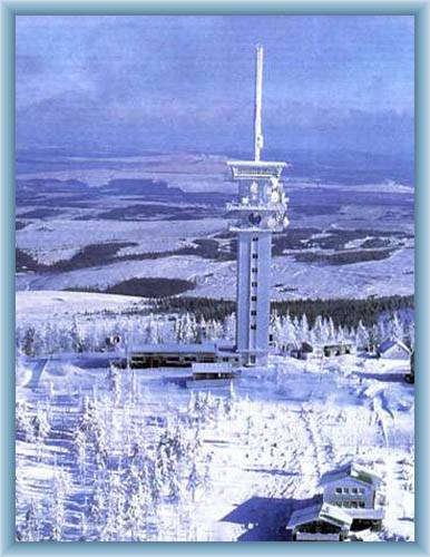
| 3,6 |
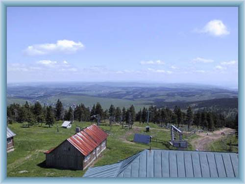
Klínovec |
1200 m n.m. |
 |
|
| 6,4 |
Nad Suchou |
979 m n.m. |
 |
|
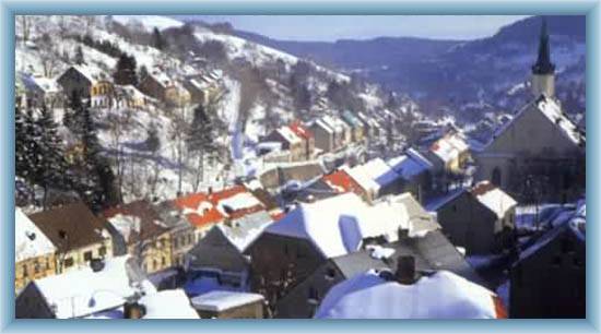
| 9,5 |
Jáchymov |
628 m n.m. |
 |
Crossroad with yellow route |
| 11,5 |
Svítání |
733 m n.m. |
|
|
| 14,7 |
Boží Dar |
1004 m n.m. |
|
|
| 17,0 |
|
1038 m n.m. |
|
|
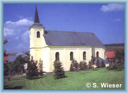
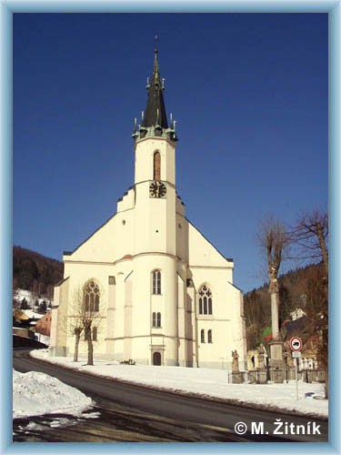
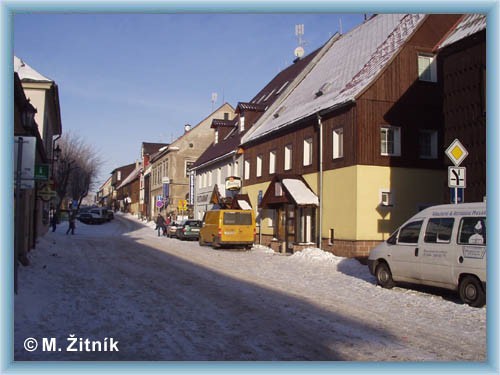
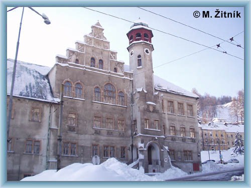
| | Jáchymov – town hall – Jáchymov is a spa and ski town. There are many sight with mining history: Kings mint – today used as a museum, church of St.Joachym – late gothic building, town houses on the square from 16th century and the renaissance building of the town hall which is also the seat of the local library, remains of the castle Freudsteun – where the first tries to mint silver coins should have happened. |
|