|
|
|
|
|
||||||||||
|
|
|
||||||||||||


Hiking, Trip to surroundings
From Aš along the blue track to water
|
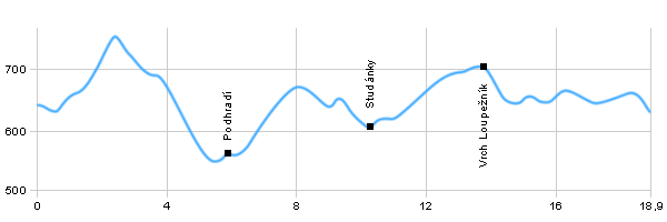
Length: 19 km Dificulty: difficult Circle: YES, Marking: partialy marked A more difficult trip with quite a big elevation change starts in Aš and leads mostly through forests and fields and asphalt roads. From Aš it goes up hill along the blue touristic track to the hill of Háj with a seeing tower. Then it leads to the village Studánky where you can find a pond with clean water suitable for swimming. From Studánky it leads along the red track around the Loupežník to the settlement Kamená, around the Černý Luh pond and through the village Krásná back to Aš. Drag the map with your mouse You can also use the directional arrows in the top-left corner. Use the keys (+), (-) or the slider to zoom in and zoom out. |
|
|||||||||||||||||||||||||||||||||||||||||||||||||||||
| ||||||||||||||||||||||||||||||||||||||||||||||||||||||


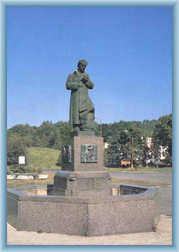
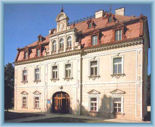
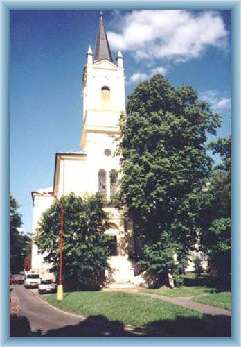
Photos of the route
|
