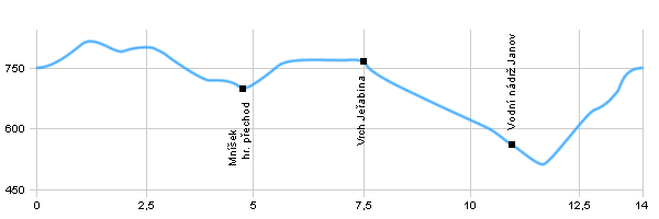
Length: 14 km
Dificulty: medium
Circle: YES, Marking: partialy marked
Trail trip begins in the village Klíny, than follows the blue sign to the crossroads Kostelni cesta and continues along the state border into Mníšek, from Mnisek goes at the yellow sign along the roads around the hill Větrný vrch to the top of the hill Jeřabina with the tower. Then, the route leads following the red mark through the hill Hřeben to crossroads by the water tank Janov. After turning left at the blue sign and crossing river Loupnice continues back to the village Klíny.
Drag the map with your mouse 
You can also use the directional arrows in the top-left corner.
Use the keys (+), (-) or the slider to zoom in and zoom out.

|
|
|
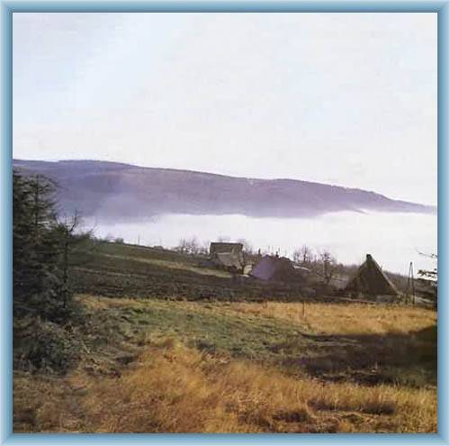
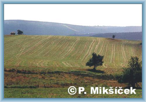
 | Klíny is the largest winter sports centre in the district Bridge. historicl monument is neo-gothic church from 19th century. |  | Border crossing is open for pedestrians, bicycles, motorcycles and cars. |  | On the rocky hill was Jeřabina tower, and it remains only a stone floor, which is 3 m high. |  | The water tank is classified as state-protected technical monuments. The dam is brick of quarry stone, brick 43 m high and long in the crown of 225 m. Among at the masonry dam in the Czech Republic. |
|