|
|
|
|
|
||||||||||
|
|
|
||||||||||||


Hiking, Trip to surroundings
Liberec area
|
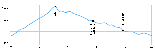
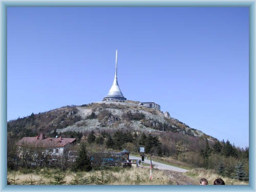
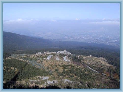
Length: 9,8 km Dificulty: medium Circle: YES, Marking: marked The trip starts by the tram station in Horní Hanychov. From there it leads along the blue track up around the sledge trail, across the car road to Ještěd and to the crossroad Nad Výpřeží. From there it climbs up with the red track and the educational trail to the top of Ještěd. From the top it descends to the parking place by the Ještědka hotel and along the red track to Pláně pod Ještědem. From there it follows the blue track towards Hluboká. By the crossroad Nad Hlubokou it turns left and along the green and then red track it goes back to Horní Hanychov. The trip can be made easier by taking the cabin car up to the top of Ještěd and this way it is also suitable for baby carriages. Drag the map with your mouse You can also use the directional arrows in the top-left corner. Use the keys (+), (-) or the slider to zoom in and zoom out. |
|
|||||||||||||||||||||||||||||||||||||||||||||||
| ||||||||||||||||||||||||||||||||||||||||||||||||


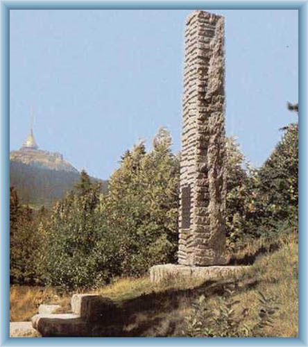
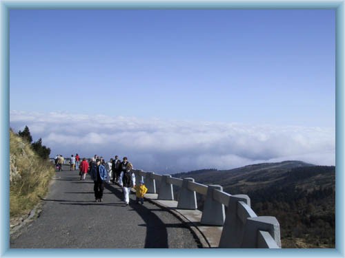
Photos of the route
|
