|
|
|
|
|
||||||||||
|
|
|
||||||||||||


Hiking, Trip to surroundings
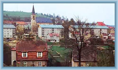
Around Oloví
|
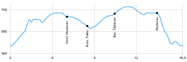
Length: 16,4 km Dificulty: medium Circle: YES, Marking: marked The trip starts by the railroad crossing in Oloví and leads by the blue track to the church on the center of the village where it intersects the Svatava river and continues to the viewpoint and to Horní Studenec where it takes a left along the green track to the Peklo (Hell) crossroad. From there it leads right by the yellow track through the valley with a stream to former Čtyřdomí. From there again by the blue track around Jelení Vrch (Deer Hill) and then from the crossroad by the green track to Studenec and by the bike track through Studenec, Dolní Studenec and back to Oloví. Drag the map with your mouse You can also use the directional arrows in the top-left corner. Use the keys (+), (-) or the slider to zoom in and zoom out. |
|
||||||||||||||||||||||||||||||||||||||||||||||||
| |||||||||||||||||||||||||||||||||||||||||||||||||


Photos of the route
|
