|
|
|
|
|
||||||||||
|
|
|
||||||||||||


Hiking, Trip to surroundings
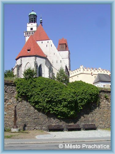
Around Prachatice
|
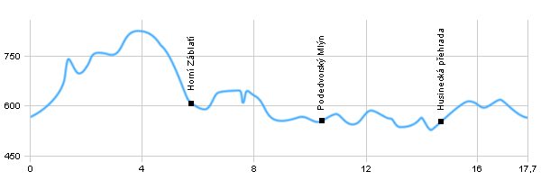
Length: 17,7 km Dificulty: medium Circle: YES, Marking: marked An easy walk leading through the wooden valley of Blanice river with viewpoints. It starts in Prachatice and follows the blue touristic track to Horní Záblatí where it turns to the yellow track. It follows the yellow track around Zábrská Skála (Rock) to Sedlmín and to Podedvorský Mlýn (Mill) where it starts to go around the water reservoir called Husinec. Then it turns to the cyclist track 121 which connects to the red touristic track leading back to Prachatice. Drag the map with your mouse You can also use the directional arrows in the top-left corner. Use the keys (+), (-) or the slider to zoom in and zoom out. |
|
|||||||||||||||||||||||||||||||||||||||||
| ||||||||||||||||||||||||||||||||||||||||||


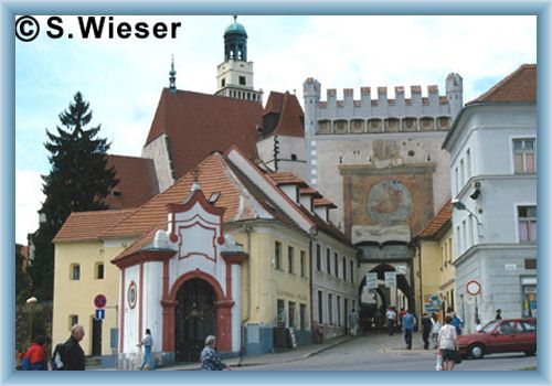
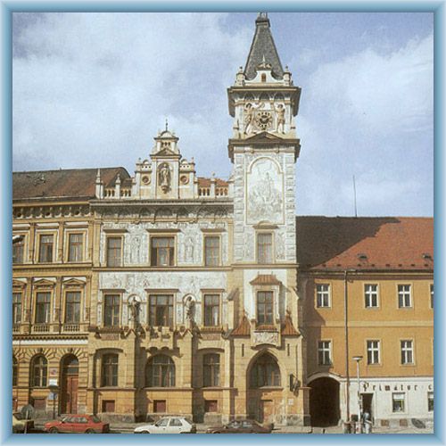
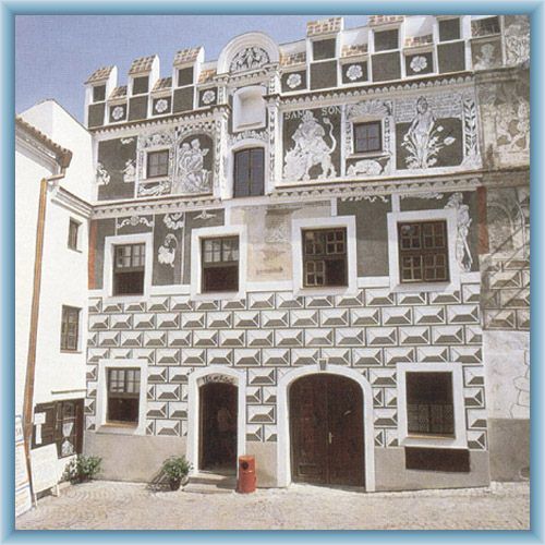
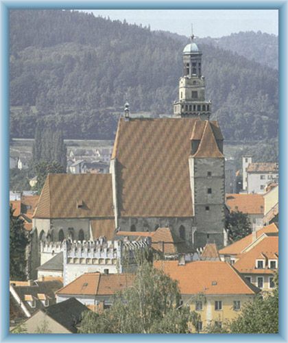
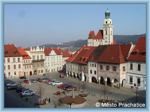
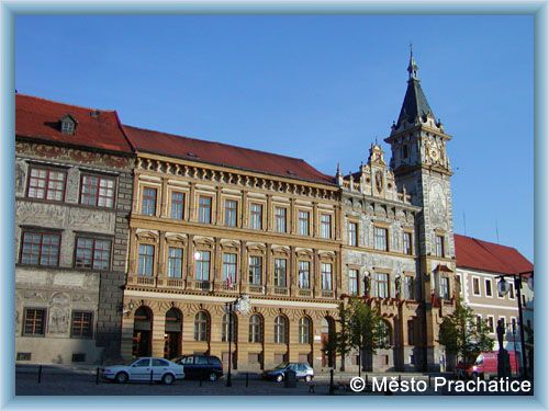
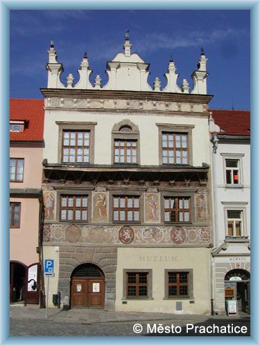
Photos of the route
|
