|
|
|
|
|
||||||||||
|
|
|
||||||||||||


Hiking, Trip to surroundings
Around the village Hrob
|
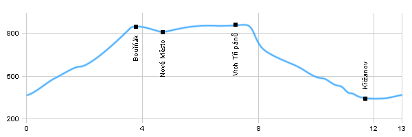
Length: 13 km Dificulty: medium Circle: YES, Marking: partialy marked Trail trip begins at the crossroads by the bus station in the village Hrob and then after the red mark leads north under the hill Bouřňák and then to the cottage at its peak. Then, the route continues following yellow sign to Nové Město and then at the top of the hill Vrch tří pánů. From the top of the peak Vrch tří pánů the trail continues to the way Domaslavické valley and through Krizanov back to the village Hrob. Drag the map with your mouse You can also use the directional arrows in the top-left corner. Use the keys (+), (-) or the slider to zoom in and zoom out. |
|
||||||||||||||||||||||||||||||||||||||||||
| |||||||||||||||||||||||||||||||||||||||||||


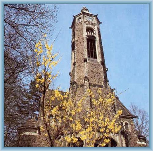
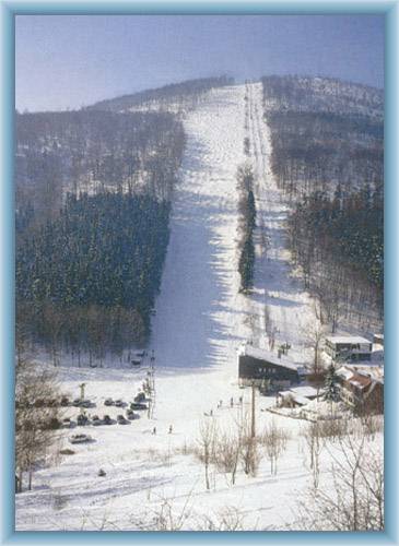
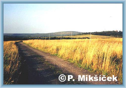
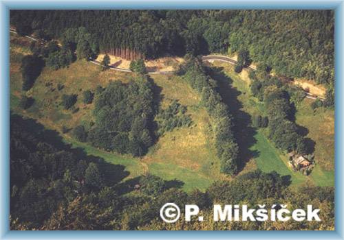
Photos of the route
|
