|
|
|
|
|
||||||||||
|
|
|
||||||||||||


Hiking, Trip to surroundings
From Prášily to Prášilské Jezero (Lake)
|
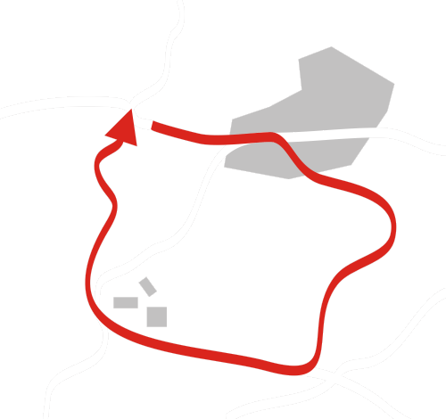
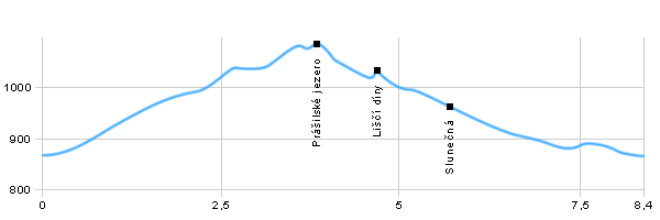
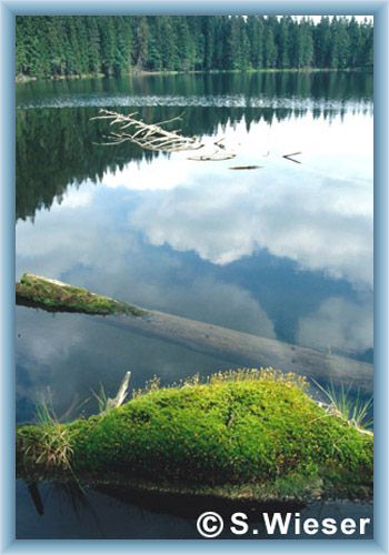
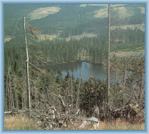
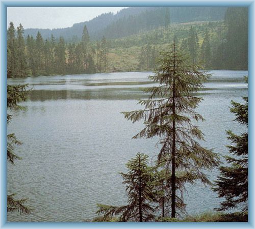
Length: 8,4 km Dificulty: medium Circle: YES, Marking: partialy marked Our trip stars in the village of Přášily and we start to go along the read tourist track towards Prášilské Jezero. After about 4km we should arrive at Prášilské Jezero which is of iceberg origin. From the lake we go over the stone debris, around the grafted resting place to Liščí Díra. There we continue by the yellow tourist track to another crossroad of Slunečná – former Gruberg. The yellow tourist track will connect to the road and it should take us back to Prášily  |
|
See the map
| |||||||||||||||||||||||||||||||||||
| |||||||||||||||||||||||||||||||||||||


Photos of the route
|
