|
|
|
|
|
||||||||||
|
|
|
||||||||||||


Hiking, Trip to surroundings
Around the village Prebuz
|
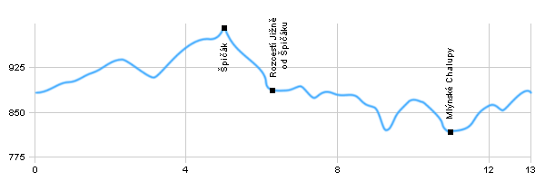
Length: 13 km Dificulty: easy Circle: YES, Marking: partialy marked This trip begins in Přebuz at the square. From signpost service, which is situated 800 meters north from the village goes through the vast Přebuzské heath and after the green tourist path towards turning to the Špičák. It is possible to walk at the peak Spicak and then go back on a path and continues to the crossroads south of Špičák. Here is Fischerův spring. From the crossroads we will continue following the yellow sign, which leads to Nejdek, turn right at a crossroads Mlýnské Chalupy and following on the road, which lead us back to Přebuz.  |
|
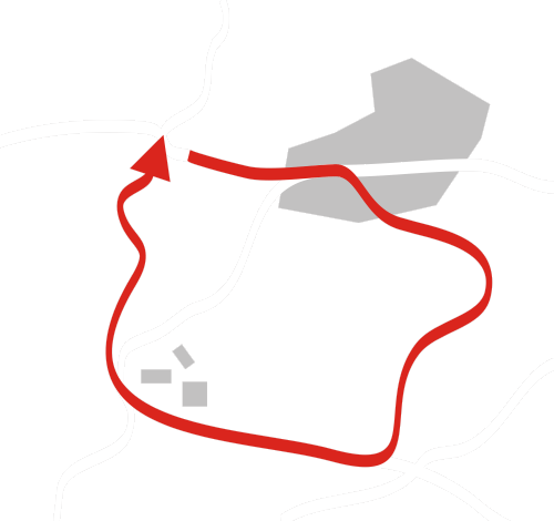
See the map
| |||||||||||||||||||||||||||||||||||||||||||
| |||||||||||||||||||||||||||||||||||||||||||||


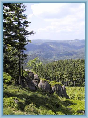
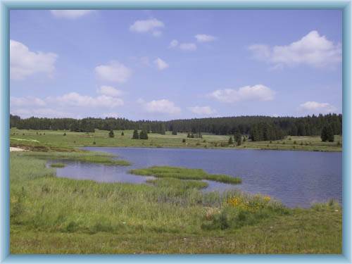
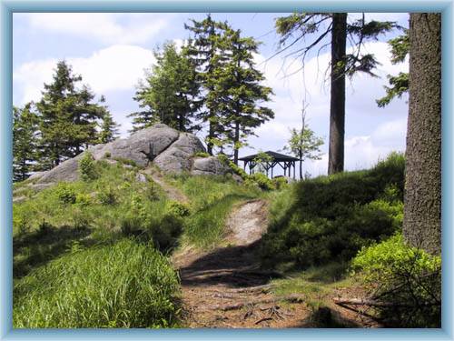
Photos of the route
|
