|
|
|
|
|
||||||||||
|
|
|
||||||||||||
Hiking trail - Vítkovice - Dolní Mísečky
|
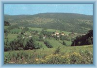
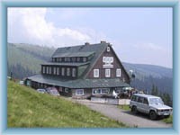
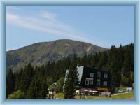
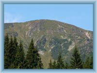
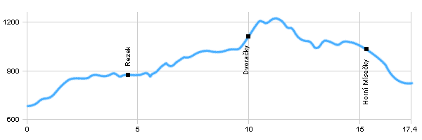
Length: 17,4 km Dificulty: medium Circle: NO, Marking: marked The trip starts in Vítkovice by the parking place and goes through the village by the yellow track to the ski area Vurmovka and then along the car road to Rezek. Then still by the yellow track up to the mountain cottage Dvoračky and from there it descends to Kotelní Jámy there it continues by the so called Krakonošova cesta (Krakonoš’ way) to a car road and by it to Jilemnická bouda in Horní Mísečky. From there it descends by the yellow track to Dolní Mísečky.  |
|
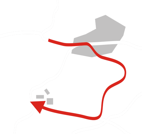
See the map
| |||||||||||||||||||||||||||||||||||||||||||||||||||
| |||||||||||||||||||||||||||||||||||||||||||||||||||||
Photos of the route
|


