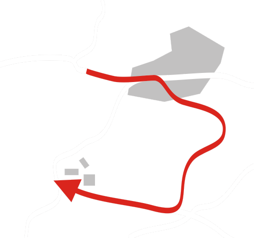
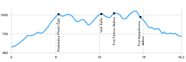
| Dist. |
Location |
Elevation |
Marking |
Description |
| 0,0 |
Vrchlabí |
484 m n.m. |
  |
cyclo route 10 |
| 0,8 |
Třídomí |
543 m n.m. |
|
 cyclo route 10 cyclo route 10 |
| 2,7 |
Kněžice |
694 m n.m. |
|
 cyclo route 10 cyclo route 10 |
| 3,5 |
Crossroad Křížovky |
722 m n.m. |
|
|
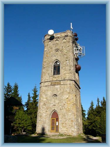
| 5,4 |
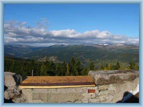
View tower Přední Žalý |
1018 m n.m. |
 |
|
| 10,2 |
Vrch Šeřín |
1026 m n.m. |
|
|
| 11,6 |
Pod Černou skálou |
1031 m n.m. |
|
|
| 14,5 |
Pod Harrachovou skálou |
981 m n.m. |
 |
cyclo route 12 |
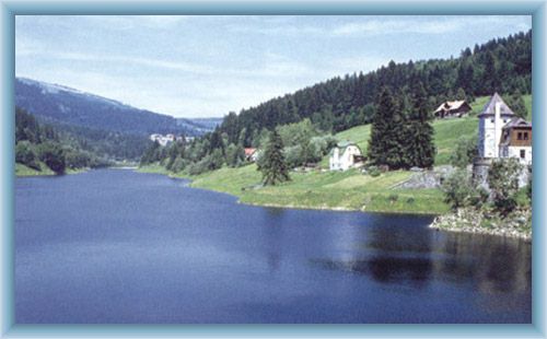
| 17,7 |
Přehrada na Labi |
703 m n.m. |
 |
 |
| 19,3 |
Michlův Mlýn |
667 m n.m. |
|
|
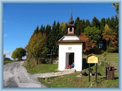
| | Třídomí – Halfway from Třídomí and Kněžnice stands a chapel of saint Anne. It was built before 1754 to protect Vrchlabí against war and plague. | | | Knežnice – There is a horse farm. | | | Přehrada na Labi (Elbe Dam) – A dam built to protect against flood in 1910-1914. It’s size is 40ha. The side of the dam is 41,4m tall. A 120m long car bridge was built over the dam in the 80s. View tower on the top of Přední Žalý – Built in 1892 by the count Jan Harrach. |
|