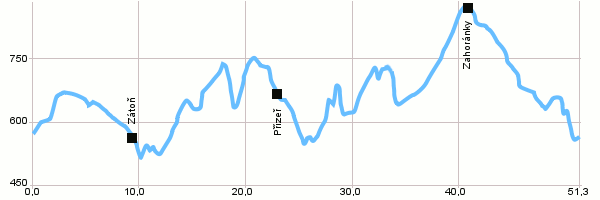
| Dist. |
Location |
Elevation |
Marking |
Description |
| 0,0 |
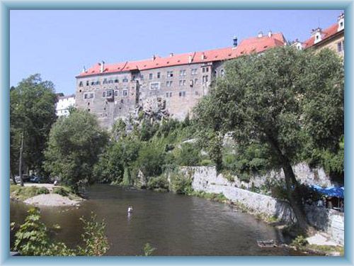
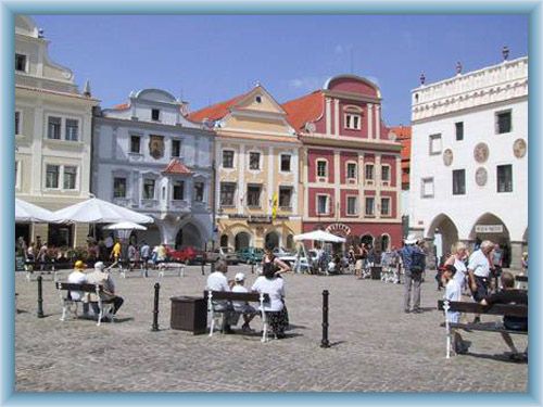
Český Krumlov |
519 m n.m. |
 |
 12 12 |
| 5,6 |
Zátes |
625 m n.m. |
|
12 |
| 9,8 |
Zátoň |
518 m n.m. |
 |
Yellow marking |
| 12,6 |
Branná |
535 m n.m. |
|
Yellow marking |
| 23,3 |
Přízeř |
645 m n.m. |
|
Yellow marking |
| 26,8 |
Rožmberk nad Vltavou |
533 m n.m. |
|
1188 |
| 34,7 |
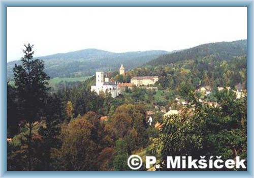
Rožmitál na Šumavě |
634 m n.m. |
|
 1200 1200 |
| 38,6 |
Přídolí |
770 m n.m. |
 |
 Blue marking Blue marking |
| 42,9 |
Zahoránky |
816 m n.m. |
|
1200 |
| 51,3 |
Český Krumlov |
519 m n.m. |
|
|
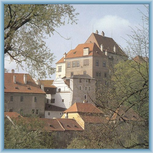
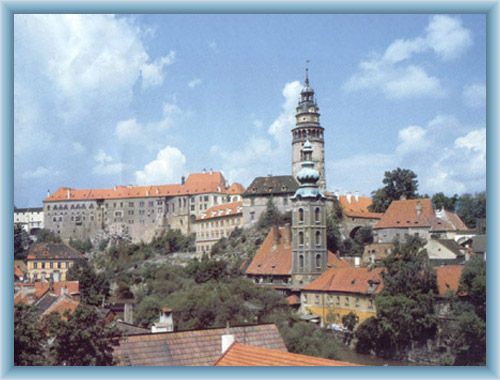
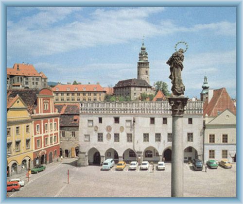
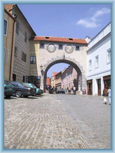
| | Český Krumlov – The town was called a monumental reserve in 1963, in 1989 the chateau areal a national culture sight and in 1992 the whole historical complex a part of UNESCO. | | | Rožmberk nad Vltavou – The Rožmberk castle has 2 parts, the remains of the old castle from 13th century and younger lower castle built in 14th century and rebuilt in 16th, 17th and 19th century. The new agricultural buildings have also been built in 19th century and are located approximately in the location of the former old castle. | | | Rožmitál na Šumavě – Tips for trips: Church, Calvary, statue of St. Jan Nepomucký. |
|