|
|
|
|
|
||||||||||
|
|
|
||||||||||||


Hiking, Trip to surroundings
Around the village Telnice
|
Length: 11,2 km Dificulty: easy Circle: YES, Marking: partialy marked Trail trip begins in the village Telnice by the railway station and continues at the green sign along a road around Studena Stran and ski lifts in Adolfov, where at the junction turns left and continues for a while at the red sign to the crossroads U Adolfova. Here, turned left and goes at a blue sign through Ždírnické valley, and returned to the village Liboňov to Telnice.  |
|
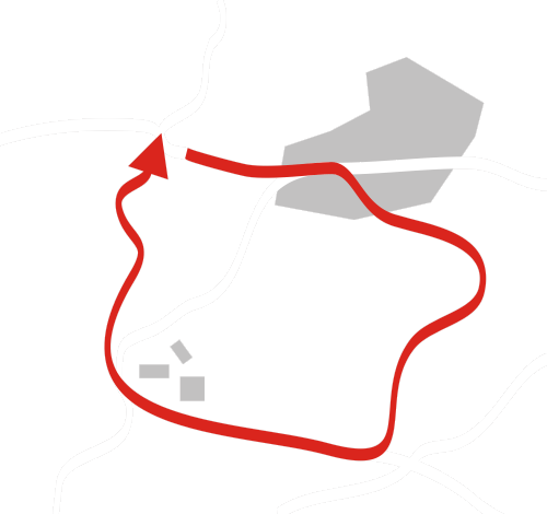
See the map
| |||||||||||||||||||||||||||||||||||||||
| |||||||||||||||||||||||||||||||||||||||||


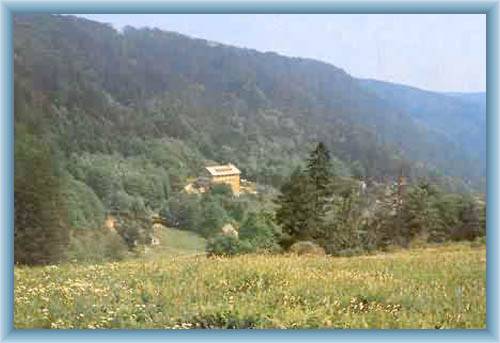
Photos of the route
|
