Around Zdar nad Sazavou
|
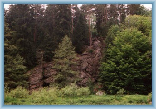
The trip starts in Zdar nad Sazavou city centre at the fortress and continues along the red tourist path out from the town toward Hamry nad Sazavou. After crossing the railway line we leave the red signs and along the road walk to Hamry nad Sazavou to the bus station. We go on along the route in the direction of Havlickuv Brod and after a while left to several ponds. We meet the Sazavsky pond at first, the Pod cestou pond, the Kriegruv pond and the Hluboky pond. From this spot we walk through a wood sometime than through a meadow and back to the route to Havlickuv Brod. After a while we turn right and along the yellow tourist path we get to the Nedek village. During this section we may make a small turning to Stenice quarry. Here the yellow path meets the red one and continue together. We walk over the Sazava river and continue left, go around the Brdlickuv mill and the Rozstipena rock. After that we leave the wood edge and turn left around the Slakhamry village to the road to Velke Losenice to the place called “Konec sveta” (End of the world). We will go off the road and tourist paths in a while and will walk up to the Peperek hill from where nice views opens. We are climbing down along the wood path to the crossroads with yellow tourist sign where we will turn right. Crossing the wood we meet ponds Rejznarka, Vapenice (here we turn right along the blue tourist sign) and Miksovec set in the end of the wood. The blue tourist path leads around Stary Dvur and hence along the yellow tourist signs to the Zdar nad Sazavou chateau. There we join the red signs and around the Bransky pond and on the Sazava bank we walk back to Zdar nad Sazavou centre.
|